
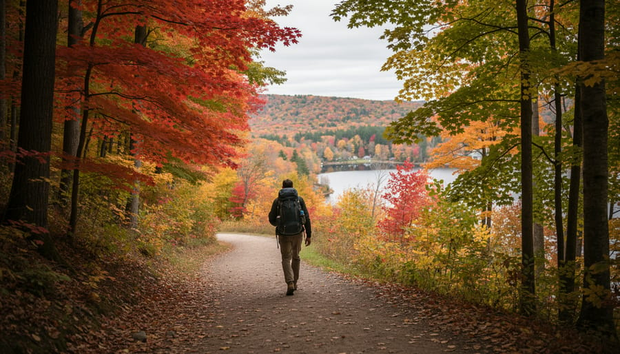
How to Plan Your Mont St Bruno Hiking Adventure: Trail Selection to Summit
Hiking Mont Saint-Bruno means navigating 27 kilometers of well-maintained trails across five difficulty levels, from the gentle 1.8-kilometer Sentier Saint-Gabriel loop to the moderate 6.1-kilometer Chemin Saint-Bruno, which climbs 165 meters in elevation over 1.5 to 2 hours. This Montérégie provincial park, managed by SÉPAQ, has seen weekend attendance surge 15 percent in recent seasons, prompting revised access protocols to preserve the trails winding past five glacial lakes and through centuries-old maple and beech forests. With over 900,000 visitors annually, Mont Saint-Bruno now ranks among Quebec’s busiest nature destinations, yet its network still offers quiet corners where you can walk beneath canopies that sheltered the Abenaki and Haudenosaunee peoples long before European settlement.
Planning a successful hike here requires understanding which trail matches your fitness level and how the park’s current access system works. The digital trail map categorizes every route by difficulty, so you can choose between a breezy lakeside stroll or a sustained climb to panoramic viewpoints over the Monteregian Hills. Chemin Saint-Bruno delivers the best balance of effort and reward for intermediate hikers, threading through sugar maple stands that blaze scarlet and gold each autumn. Sentier Saint-Gabriel serves families and beginners well, looping gently enough for young children while still offering glimpses of Lac du Moulin.
The revised access protocols reflect SÉPAQ’s commitment to environmental stewardship. Increased trail traffic threatens fragile wetland edges and nesting habitat, so booking ahead during peak weekends protects both your experience and the ecosystem. Arriving prepared with proper footwear, water, and trail etiquette knowledge ensures you leave no trace in this landscape shaped by glaciers and generations of careful land stewardship.
What You’ll Need for Your Mont-Saint-Bruno Hike
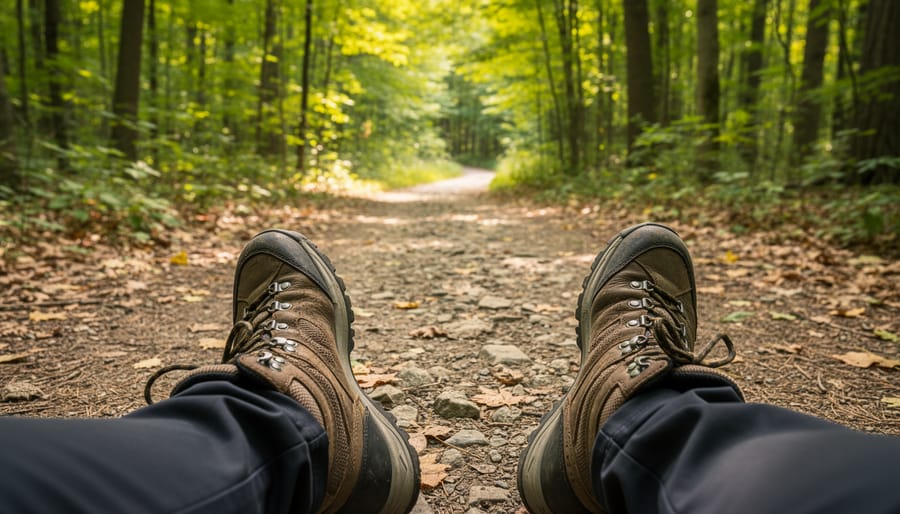
Heading out to Mont-Saint-Bruno demands preparation that matches the park’s varied terrain and woodland conditions. The right gear makes the difference between a rewarding hike and an uncomfortable struggle, especially when you’re tackling moderate routes like Chemin Saint-Bruno with its 165-meter elevation gain.
Start with sturdy hiking boots or trail runners that provide ankle support and aggressive tread for both ascent and the occasional root-crossed descent. The park’s 27 kilometers of pathways traverse mixed surfaces, from packed earth to rocky sections, so footwear that can handle variable grip is essential. Layer your clothing to adapt to woodland microclimates: a moisture-wicking base layer, an insulating mid-layer, and a wind-resistant or waterproof shell. Temperatures can shift noticeably between exposed ridges and sheltered lakeside sections.
For navigation, download or access the digital layout before you arrive. It identifies five distinct difficulty levels across the trail network, letting you match your route to your fitness and available time. A fully charged phone works, but a backup battery pack adds security. Carry at least one liter of water per person for moderate routes, more if you’re attempting longer combinations or hiking in summer heat.
- Proper footwear: hiking boots or trail runners with ankle support and aggressive tread
- Weather-appropriate layers: moisture-wicking base, insulating mid-layer, wind/waterproof shell
- Trail map/digital navigation: downloaded layout showing five difficulty levels
- Water and snacks: minimum one liter per person, energy-dense trail mix or bars
- Leave No Trace kit: small bag for waste, reusable containers, hand sanitizer
Respect the park’s sustainability goals by following Leave No Trace guidance and packing out everything you bring in. With over 900,000 annual visitors, individual actions compound quickly. Our packing tips can help you streamline your load without sacrificing essentials. Parking and entry logistics are managed by SÉPAQ, so verify current access protocols directly with the park before your visit rather than relying on outdated information.
Safety and Trail Conditions to Know Before You Go
Before you set foot on Mont-Saint-Bruno’s trails, understanding current conditions and safety and health protocols will help you avoid disappointment and protect both yourself and the park’s fragile ecosystems. SÉPAQ has implemented revised access protocols in response to surging popularity, and respecting these measures ensures a safe, sustainable experience for all visitors.
Start by familiarizing yourself with the park’s five difficulty levels through the digital trail layout. Each of the 27 kilometers of pathways is clearly marked, and staying on designated trails protects sensitive vegetation while keeping you oriented. Trail markers use consistent colour coding and symbols; if you lose sight of markers for more than a few minutes, retrace your steps rather than bushwhacking.
Southern Quebec forests host black bears, white-tailed deer, and smaller mammals. Make noise on blind corners, store food securely, and give wildlife plenty of space. Weather can shift quickly in wooded terrain, check forecasts before you leave and turn back if conditions deteriorate, especially on moderate routes like Chemin Saint-Bruno where elevation gain of 165 meters can amplify wind and temperature changes.
Recognize that these lands hold deep significance for Indigenous peoples. Practice Leave No Trace principles: pack out everything you bring, stay on trails to prevent erosion, and avoid disturbing plants or wildlife. With over 900,000 annual visitors, every hiker’s choices shape the park’s future.
Step-by-Step: Planning and Executing Your Hike
Step 1: Check Current Access Protocols and Plan Your Visit
Before you set foot on any Mont-Saint-Bruno trail, visit the official SÉPAQ website to confirm current access protocols. The park management introduced revised rules in response to a 15 percent surge in weekend attendance over recent seasons, now welcoming more than 900,000 visitors annually. These changes aim to protect the trail network while maintaining quality experiences across the park’s 27 kilometers of pathways and five lakes.
Check whether capacity limits are in effect for your planned visit date. Weekend mornings, especially during peak fall foliage and spring wildflower seasons, attract the heaviest crowds. If you have flexibility, schedule your hike for weekday mornings or late afternoons when trails are quieter and parking is more readily available. Mid-week visits often mean shorter waits at trailheads and more solitude on popular routes like Chemin Saint-Bruno.
Download or screenshot the current trail map and access guidelines before leaving home, since cell service can be inconsistent within the park. Confirm whether any trails are temporarily closed for maintenance or ecological restoration. Arriving prepared with verified information prevents frustration and ensures your visit aligns with the park’s sustainable management goals.
Step 2: Study the Trail Map and Difficulty Levels
Before you set foot on the trail, grab the digital map from SÉPAQ’s park resources and spend a few minutes understanding what you’re looking at. The layout identifies five distinct difficulty levels across the 27-kilometer network, each corresponding to specific terrain challenges and fitness demands. Easy trails like Sentier Saint-Gabriel offer flat, wide paths perfect for families or warm-up walks. Moderate routes such as Chemin Saint-Bruno introduce sustained elevation gain, 165 meters over 6.1 kilometers, requiring basic cardiovascular fitness and stable footing on inclines. Higher difficulty levels involve steeper grades, rougher surfaces, and longer distances that demand endurance.
Match your current fitness level honestly to the trail rating. If you haven’t hiked in months, starting with an easy loop gives you a baseline. More experienced hikers can jump to moderate or challenging routes, but factor in the 1.5 to 2 hours Chemin Saint-Bruno typically requires and adjust expectations if you’re carrying extra weight or hiking with children. Check how each trail connects to the five lakes if waterfront access matters to your experience, and note whether your chosen route forms a loop or requires retracing your steps.
Step 3: Choose Your Route
Selecting your route from Mont-Saint-Bruno’s 27-kilometer network starts with honest assessment of your fitness level and available time. The digital trail map displays five distinct difficulty ratings, use these to match terrain and elevation to your experience.
For first-timers and families, Sentier Saint-Gabriel offers an ideal introduction. This 1.8-kilometer easy loop showcases the park’s woodland character without technical demands, typically completed in under an hour. You’ll stay close to lower elevations and enjoy gentle, well-maintained paths.
Ready for more challenge? Chemin Saint-Bruno delivers a proper workout across 6.1 kilometers with 165 meters of elevation gain. Budget 1.5 to 2 hours for this moderate route, which rewards effort with canopy views and varied terrain. The climb tests cardiovascular fitness without requiring scrambling or advanced technique.
Factor lake access into your decision. The park’s five lakes punctuate different sections of the network, so study which bodies of water your chosen route encounters. Some trails skirt shorelines while others pass nearby without direct views.
Seasonal trail character matters significantly. Spring brings muddy sections and vibrant greenery; autumn offers spectacular foliage but shorter daylight windows; winter transforms routes into snowshoe territory with entirely different pacing. Choose trails that suit current conditions and your seasonal gear, and be willing to adjust plans if weather shifts unexpectedly.
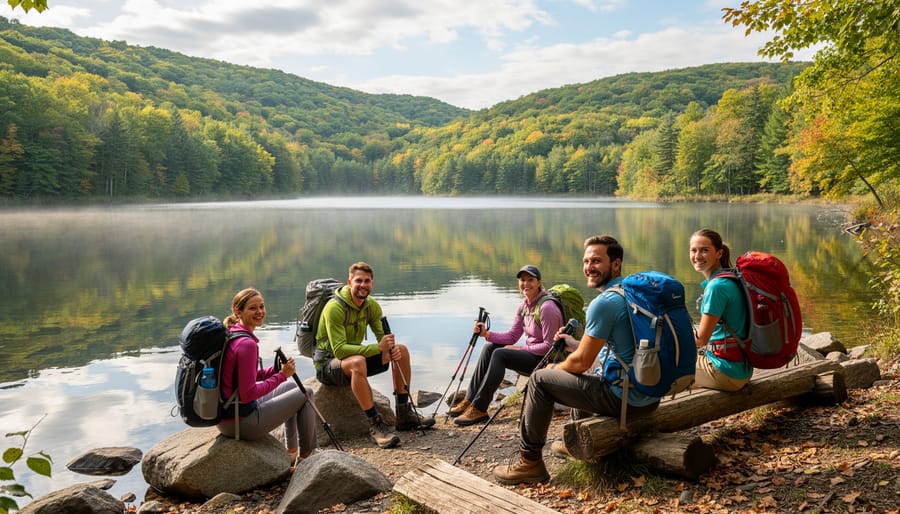
Step 4: Navigate the Trail and Follow Marked Paths
Once you’re on the trail, your primary job is staying on the marked path. Mont-Saint-Bruno’s network serves over 900,000 visitors annually, so trails are well-defined with clear signage corresponding to the five difficulty levels you studied earlier. Look for colored markers on trees and posts, these indicate your route and difficulty rating. If you stop seeing markers for more than a minute or two, backtrack to the last one rather than forging ahead.
On moderate routes like Chemin Saint-Bruno, the 165-meter elevation gain comes gradually. Pace yourself on uphill sections by shortening your stride and maintaining steady breathing. If you encounter zigzagging climbs, understanding what switchbacks are helps you use them efficiently rather than cutting corners, which accelerates erosion.
Step aside on narrow sections to let faster hikers pass, and keep voices low near wildlife habitat. When photographing the five lakes or forest views, move completely off the trail so you don’t block passage. Stay alert to your surroundings: watch for roots across the path, listen for approaching mountain bikers on shared sections, and notice how the forest changes as you gain elevation. This awareness keeps you safe and deepens your connection to the landscape you’re moving through.
Step 5: Complete Your Hike and Assess Your Experience
As you approach the end of your chosen route, watch for familiar landmarks or trail markers that signal you’re nearing completion. Loop trails like Sentier Saint-Gabriel bring you back to your starting point, while longer routes such as Chemin Saint-Bruno often conclude at clear termination points or park infrastructure. Take a moment to assess how your body responded to the elevation gain and distance, did that 165-meter climb on Chemin Saint-Bruno feel manageable, or did it push your limits? Note any sections that challenged you, weather conditions that affected your pace, and trail features you’d like to revisit.
Before leaving, scan your immediate area for any trash or items you may have dropped, even if they aren’t yours. Pack out everything you brought in, including fruit peels and biodegradable items that disrupt the forest ecosystem. If you noticed any trail damage or safety concerns during your hike, consider reporting them to park staff so SÉPAQ can maintain the network for the 900,000 annual visitors who rely on these pathways. This conscious stewardship ensures Mont-Saint-Bruno remains accessible and pristine for future generations of Northern Ontario adventurers and Quebec locals alike.
How to Know You’ve Hiked Mont-Saint-Bruno Successfully
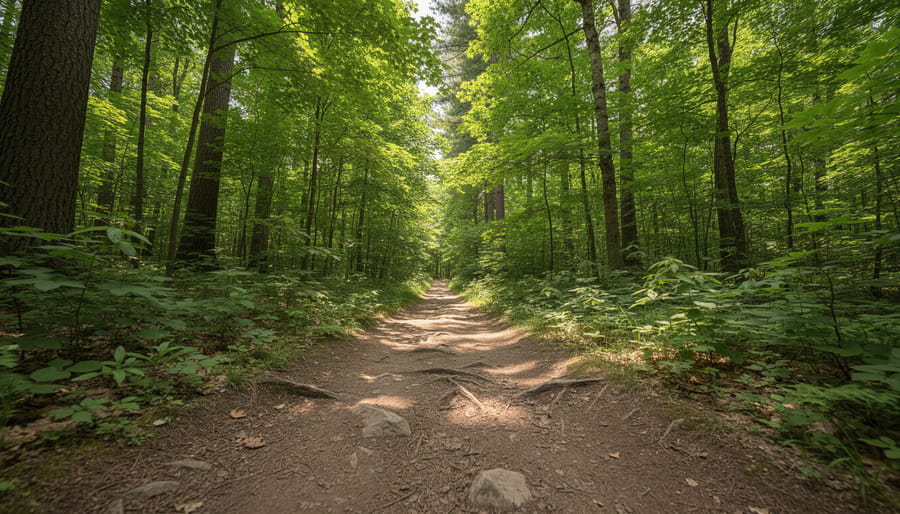
You’ll know your Mont-Saint-Bruno hike was successful when you complete your chosen route within the expected timeframe, finishing Chemin Saint-Bruno in roughly 1.5 to 2 hours or wrapping up the shorter Sentier Saint-Gabriel loop comfortably. Your body should feel pleasantly worked but not depleted, signaling you matched the trail difficulty to your fitness level. Notice whether you experienced the park’s defining features: reflections on one of the five lakes, the canopy shift as you gained elevation, or the forest quiet that makes 27 kilometers of trails feel boundless.
Equally important, you left no trace, no litter, no trampled vegetation off-trail, no disruption to the natural rhythms that sustain over 900,000 annual visitors. This commitment to sustainable access mirrors the park’s own management philosophy and sets you up to tackle more challenging routes next time. Start with easier trails and build toward steeper, longer options as your confidence and conditioning grow. Seasonal return visits reveal new dimensions: spring mud and wildflowers, summer shade and birdsong, fall color sweeping the ridges. Each trip deepens your connection to this protected landscape and often sparks curiosity about similar wilderness areas across Quebec and Northern Ontario, where hiking in French connects you to the culture woven into the trails themselves. Mont-Saint-Bruno’s model of balancing heavy use with ecological care proves that thoughtful planning sustains both the land and the experience for everyone who follows.
Common Questions About Hiking Mont-Saint-Bruno
How difficult are the trails at Mont-Saint-Bruno really?
The park’s 27-kilometer network is organized into five distinct difficulty levels, ranging from short easy loops like Sentier Saint-Gabriel (1.8 km) to moderate routes like Chemin Saint-Bruno with 165 meters of elevation gain. Most trails accommodate hikers with average fitness, though steeper sections require steady pacing and proper footwear.
How long does a typical hike take?
Time varies by route and fitness level. Chemin Saint-Bruno, one of the most popular moderate trails at 6.1 kilometers, takes 1.5 to 2 hours to complete, while shorter paths like Sentier Saint-Gabriel can be finished in under an hour.
What makes Mont-Saint-Bruno different from other provincial parks?
The park combines extensive trail variety with natural features including five lakes distributed across its landscape. With over 900,000 annual visitors, it demonstrates how thoughtful management can balance high accessibility with environmental protection, particularly through SÉPAQ’s revised access protocols.
When is the best time to visit?
Weekdays offer quieter conditions year-round, while weekends see 15 percent higher attendance. Spring and fall provide comfortable temperatures and striking seasonal foliage, though each season offers distinct trail character worth experiencing.
Do I need a permit or reservation?
Access requirements have evolved in response to growing popularity. Check SÉPAQ’s official channels before your visit for current protocols, especially if planning a weekend hike when capacity management may be in effect.
These questions reflect what most first-time visitors worry about before arriving. The park’s well-developed infrastructure and clear difficulty ratings make trip planning straightforward once you understand your own fitness level and available time. Whether you’re testing your endurance on longer routes or introducing young hikers to woodland trails, matching expectations to the verified trail characteristics ensures a rewarding experience rather than frustration or safety concerns.
